
Directions
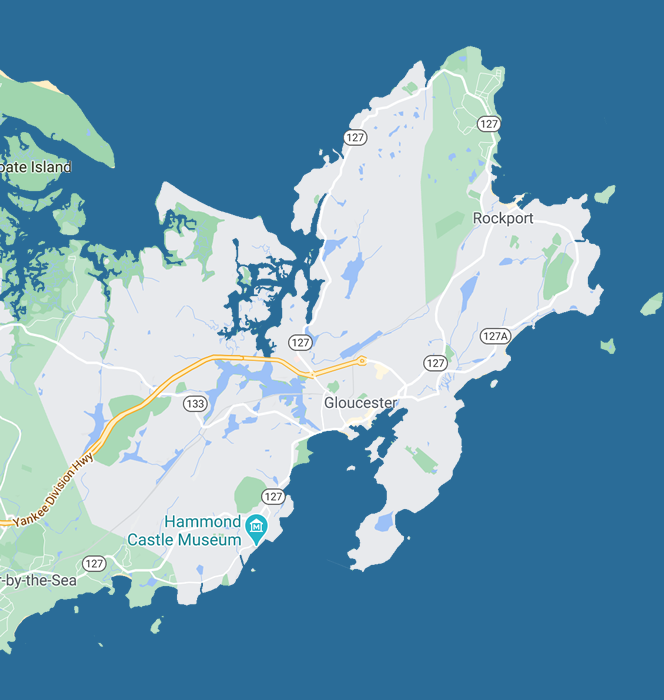
The First Congregational Church of Rockport is located at 12 School Street, Rockport, Massachusetts.

Driving
To get driving directions, click on the marker for First Congregational Church in the map below and click the Google maps route marker. ![]()

Parking
The church has a small parking area that is reserved for staff.
There is paid parking on School Street, Main Street, Broadway, and other downtown streets. Parking costs $1.00 per hour except on Beach Street, where parking costs $2.00 per hour. There is a 4-hour maximum. Meters are enforced 10 a.m. to 7 p.m., seven days a week, including holidays. The kiosks accept credit cards and quarters. See details here. Rockport is a popular destination for visitors in the summer, and the paid spaces are often all occupied when the weather is good.
There is free parking on the streets just out of the downtown area on School Street, Main Street, High Street, and other streets. Many of these spaces are a short walk from the church. These spaces are also in high demand during tourist season.
There is parking for Rockport residents on T-Wharf and in the lot near Town Hall just off Broadway, both of which are a short walk from the church. Do not park in resident-only areas unless your car bears a Rockport parking sticker. The Rockport police are zealous about defending resident-only parking.
Rockport offers a Park ‘n’ Ride service during the summer (Memorial Day through Labor Day). The Park ‘n’ Ride lot is adjacent to the transfer station on upper Main Street, about a mile from the downtown. Parking is free, and the Cape Ann Transportation Authority offers an inexpensive shuttle service between the Park ‘n’ Ride lot and the downtown. See details of the shuttle service here.

Rail
Rockport is served by the Massachusetts Bay Transportation Authority’s Newburyport/Rockport rail line. Trains originate in Boston’s North Station and pass through a dozen communities before reaching Rockport at the end of the Rockport branch, taking 65–75 minutes. A train schedule can be found here.
The Rockport train station is about a half mile from the church. To walk to the church, follow the “blue diamond” route painted on the sidewalks: turn right on Railroad Avenue upon leaving the station, walk .2 miles to the “five corners” intersection, and turn slightly left onto Broadway. Walk .3 miles and turn left onto School Street (the Rockport Public Library is on the corner). The church is halfway down the block on the left. The map above shows the route.
The Cape Ann Transportation Authority offers an inexpensive shuttle service between the train station and the downtown. See details of the shuttle service here.
Fisherman’s Taxi (978-283-1600) also offers local rides.

Sea
To reach Rockport by sea, navigate to Rockport Harbor 42°39’N, 70°36’W. If you have questions about Rockport harbor, contact the harbormasters on VHF channel 9 or by telephone at 978-546-9589.
After disembarking on T-Wharf, walk up Broadway, and turn right on School Street (the Rockport Public Library is on the corner). The church is on the left. The short walk from T-Wharf to the church is shown on the map above.


